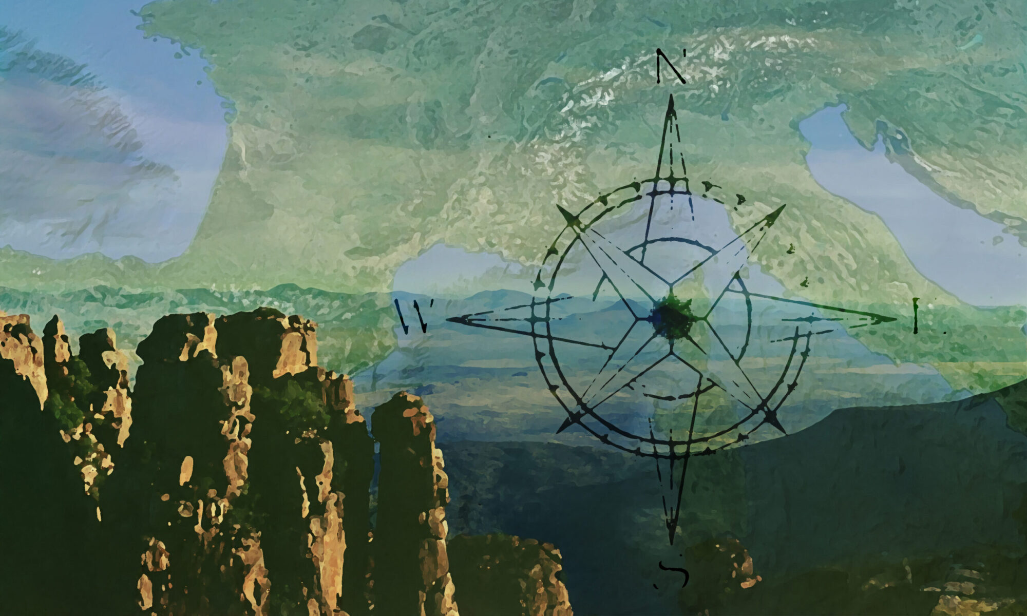
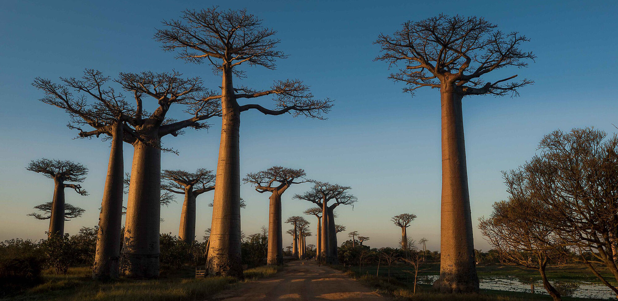
The fourth-largest island in the world and two small archipelagos, lands of baobabs and lemurs.
Madagascar
Population: 24.894.580
Area: 587.041 sq.km
Official Languages: French, Malagasy
Currency: Malagasy Ariary
Drivers Lane: Right
When to go: from April to October
Comoros
Population: 850.690
Area: 1.659 sq.km
Official Languages: French, Comorian, Arabic
Currency: Comorian Franc
Drivers Lane: Right
When to go: from May to October
Mayotte (France)
Population: 270.372
Area: 374 sq.km
Official Language: French
Currency: €uro
Drivers Lane: Right
When to go: from April to October


FURTHER LINKS
Madagascar official tourism website
Comoros official tourism website
Mayotte official tourism website
Discover Madagascar’s best attractions and top sights through our map! Which are the best places to visit in Madagascar? Simply click on the map’s links to be quickly redirected to images and useful websites for accommodation, activities, transport and much more.
photo © Rod Waddington / Flickr