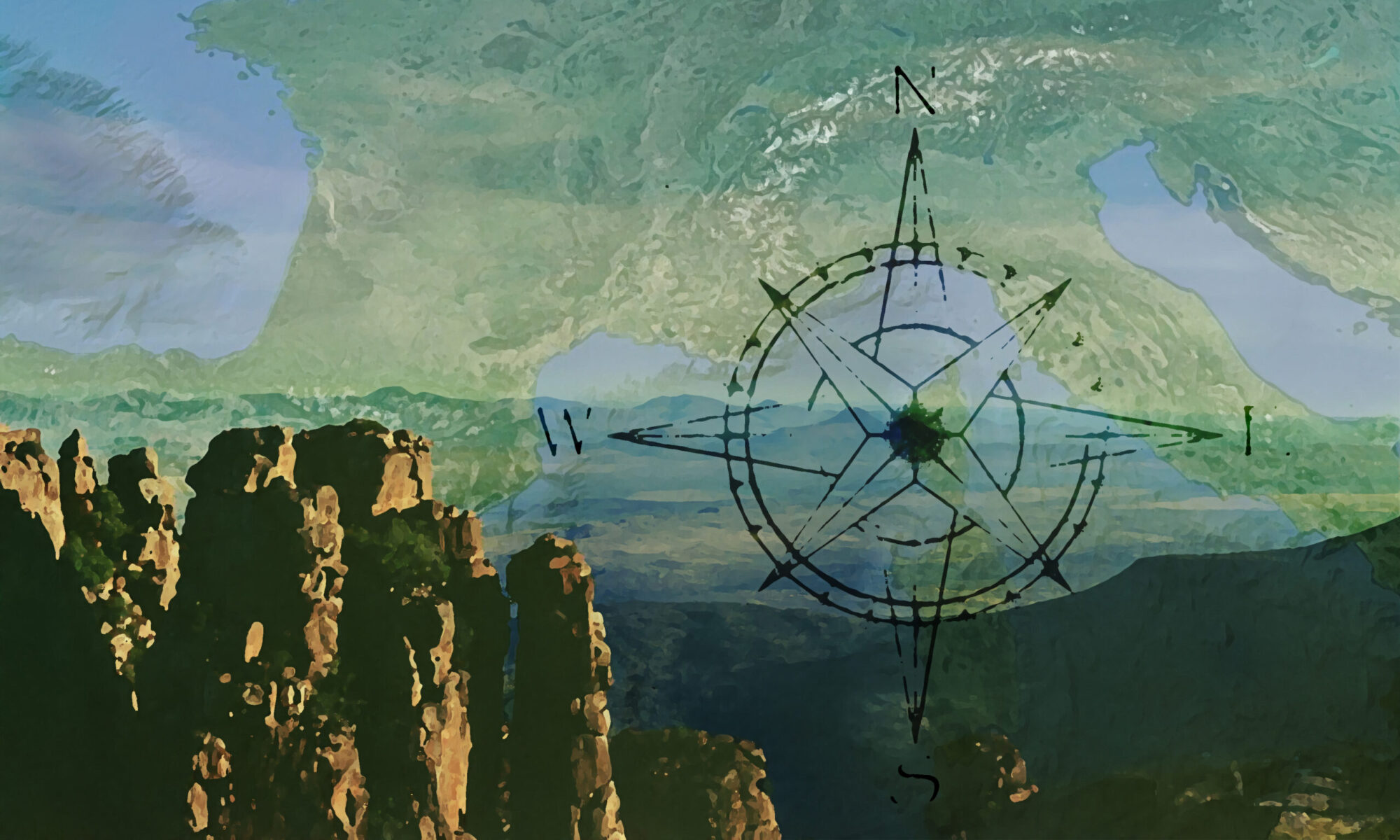
Interactive travel and tourist map of Krabi: click on icons and writings on the map to open web links.
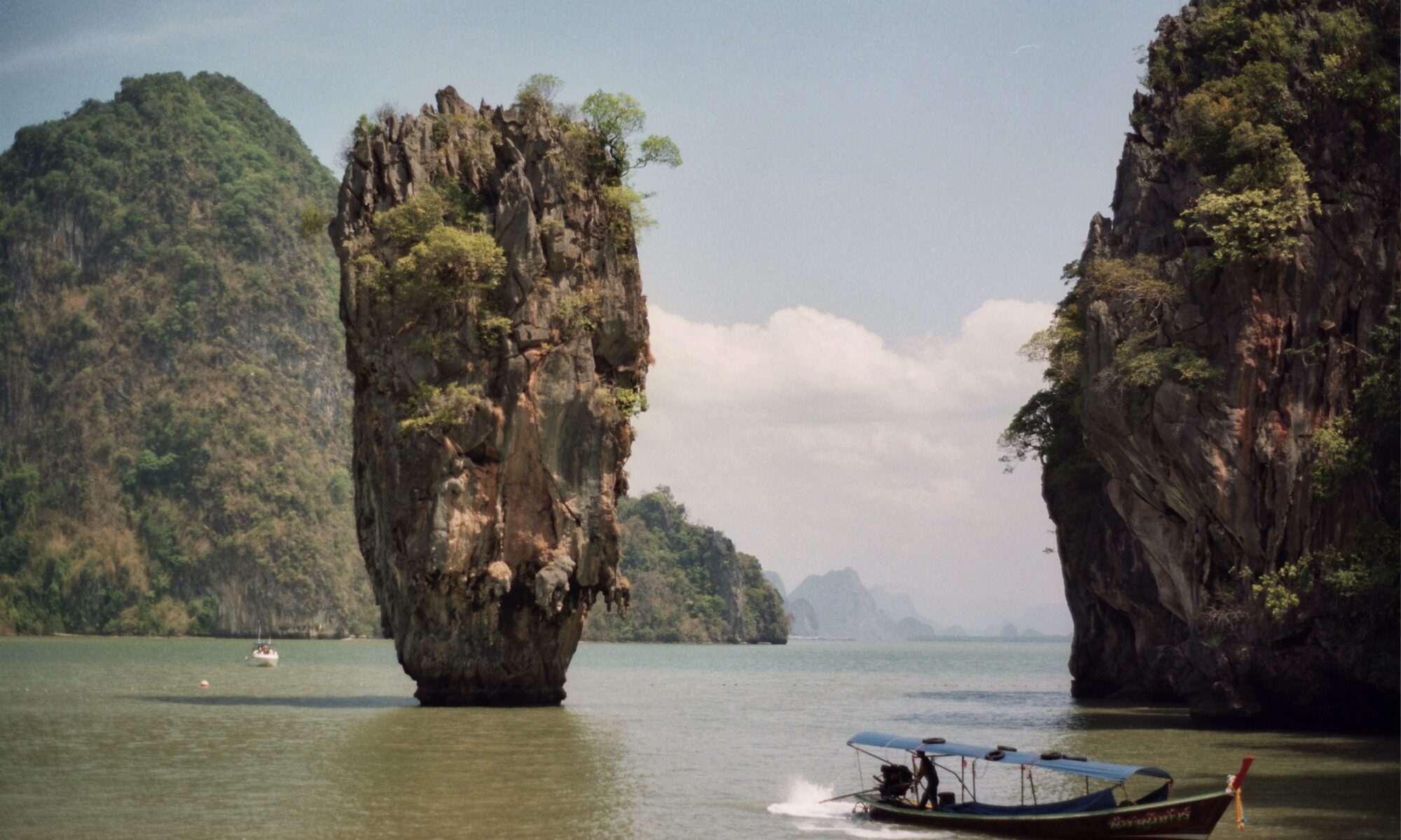
The islands of the Krabi gulf are a paradise: stunning sandy beaches surrounded by rocky peaks meet the blue sea in an enchanted scenery like Railay or Khao Phing Kan, also known as the “James Bond Island”.
Phang Na Bay is similar to the Vietnamese Ha Long Bay, but in miniature… If you can, don’t miss the opportunity to meet the whale shark, the gentle giant of the sea, in the Similian and Surin Islands.
Thailand
Population: 67.091.100
Area: 513.120 sq.km
Official Language: Thai
Currency: Baht
Drivers Lane: Left
When to go: from March to May (Krabi)


FURTHER LINKS
Krabi emerald pool
Than Bok Khorani National Park
Wat Kaew Korawaram Temple
Tiger Cave Temple
Discover Krabi’s best attractions and top sights through our map! Which are the best places to visit in Krabi? Simply click on the map’s links to be quickly redirected to images and useful websites for accommodation, activities, transport and much more.
photo © mytouristmaps (Khao Phing Kan)